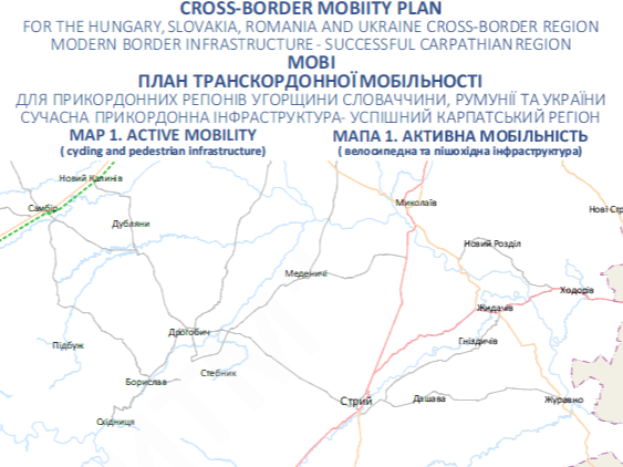
The maps reflect the key aspects of the project aspect and its impact on the development of the border area and provide an opportunity to visualize the geographical aspects of the project, the location of infrastructure and other important information.
MOBI MAP 1: ACTIVE MOBILITY (Cybicycle and pedestrian infrastructure) https://mobi.iardi.org/wp-content/uploads/mobi_map_1_active_mobility.pdf
MOBI MAP 2: RAILWAY NETWORKS https://mobi.iardi.org/wp-content/uploads/mobi_map_2_railway_networks.pdf
MOBI MAP 3: PUBLIC TRANSPORT https://mobi.iardi.org/wp-content/uploads/mobi_map_3_public_transport.pdf
MOBI MAP 4: ROAD NETWORK https://mobi.iardi.org/wp-content/uploads/mobi_map_4_road_network.pdf 
MOBI MAP 5: WATERWAYS https://mobi.iardi.org/wp-content/uploads/mobi_map_5_waterways.pdf
MOBI MAP 6: AIR TRANSPORT https://mobi.iardi.org/wp-content/uploads/mobi_map_6_air_transport.pdf
MOBI MAP 7: BORDER CROSSING https://mobi.iardi.org/wp-content/uploads/mobi_map_7_border_crossing.pdf